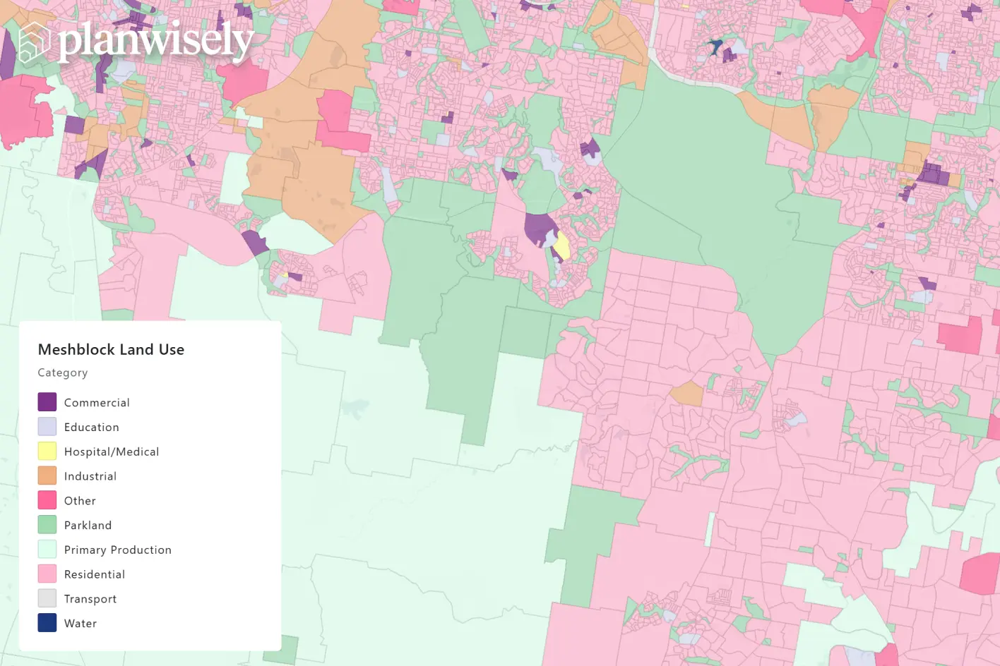
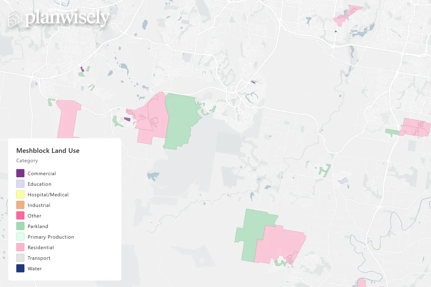
The latest Australian statistical boundaries and Mesh Block land use data are now available in Planwisely, giving planners an early look at where Australia’s cities and communities are changing.
The Australian Bureau of Statistics recently released Edition 4 of the Australian Statistical Geography Standard (ASGS), introducing the geographic boundaries that will underpin the 2026 Census. Those new boundaries are now available to explore in Planwisely.
The update includes the latest 2026 Mesh Blocks - the smallest geographic areas defined by the ABS - as well as Local Government Areas (LGAs), Destination Zones, Postcodes and Suburbs.