
The challenge
After the adoption of the Central Hobart Plan, the City of Hobart continues to work with the Tasmanian Government, businesses and the wider community to guide the development of Central Hobart over the next 20 years.
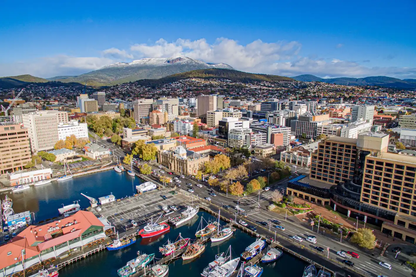
To be able to identify and strengthen what is great about the city’s central 64 blocks, City of Hobart needed visibility on how people move through the CBD, where they dwell and how long they spend in specific locations.
Without evidence-based insights into people’s behaviours, City of Hobart would need to rely on guesswork or costly, time-consuming or incomplete methods of capturing this information to mobilise their ambitious plan for the city.

The solution
City of Hobart used People Movement Data tools including Trips and Length of Stay to quickly uncover quantifiable movement and place insights that could help activate and realise the Central Hobart Plan.
'We can now find actionable insights that can save us weeks of observations and manual counts, and thousands of dollars.'
Planwisely gave the city’s planners and urban designers the ability to rapidly get a sense of how people dwell within CBD and waterfront areas, where visitors to specific areas come from and travel to next, and if those behaviours have changed over time (such as seasonal periods or simply different times of day).
With a deep evidence-based understanding of visitation and mobility within these key precincts, City of Hobart was able to confidently make decisions that can optimise the city’s built form, create integrated and accessible movement networks and ensure Central Hobart’s key public spaces have a high level of amenity.


