

Planning Intelligence for Councils
Answer place-based questions in minutes, not days. Analyse accessibility, demographics and community data without GIS software.
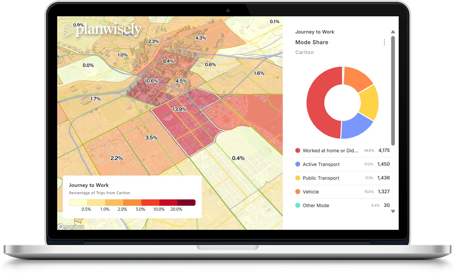
Get planning answers in minutes
Bring together planning, transport and community data to uncover patterns, gaps and opportunities across your council area with Planwisely Explore.

Explore your community
Understand how people access services, facilities and destinations across your council area.

Identify gaps and opportunities
Combine planning and place-based data to uncover areas of need and prioritise investment.
Support decisions with evidence
Generate maps and data insights to support strategies, business cases and decision-making.

No setup or software required
"The interface is intuitive, and the accuracy and availability of data is second-to-none. More flexible than having to provide data to a GIS team and wait for a result." - Team Leader Open Space Planning, City of Greater Dandenong
Sign up with your council email address to create an account. In under 2 minutes, you can:
Investigate accessibility to services, facilities and destinations
Create custom catchments around places and infrastructure
Analyse local communities using place-based datasets
Upload and visualise council-owned spatial datasets
Generate maps and evidence for reports, strategies and business cases
Explore your community
Quickly assess access, coverage and service gaps across your council area.
Analyse accessibility to parks, community facilities, activity centres and essential services using interactive map layers, custom catchments and easy-to-use tools.
.webp)
.webp)
.webp)
Identify gaps and opportunities
Discover where services, infrastructure and investment could have the greatest impact.
Combine planning, transport and your own place-based datasets to investigate community needs, compare locations and uncover opportunities for improvement.
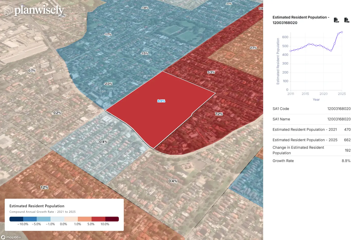
Uncover planning intelligence in minutes
Turn data into clear, defensible planning evidence.
Generate maps, insights and analysis to support planning strategies, business cases and stakeholder discussions.

Unlock deeper movement insights
Upgrade your Planwisely account to unlock robust vehicle, pedestrian and mobility datasets.
Upgrade to get access to advanced analytics, premium datasets and deeper insights to support more complex planning, investment and policy decisions.
.webp)
.webp)
.webp)
Frequently Asked Questions
We get it, it’s a lot to take in. Here are some of the most common questions we get.
Planwisely Explore is available free of charge to Australian local government organisations.
Using your council email address, planners can create accounts for planning, transport, parks, placemaking and open spaces, community development, infrastructure and other teams looking to access planning intelligence and evidence-based insights.
Planwisely Explore provides access to a range of core planning intelligence tools and datasets, including:
- 100s of open data layers for council planning
- Catchment analysis by mode, travel time and distance
- Drawing and measuring tools for customising the map
- Export maps and charts for presentations and stakeholder engagement
No. Planwisely Explore is a browser-based platform that runs entirely online.
No software installation or specialist GIS tools are required.
Yes. Users can upload and visualise their own spatial datasets alongside Planwisely's planning intelligence layers to support local investigations and analysis.
Simply drag and drop files (.geojson, .kml and zipped shapefiles) onto the map to securely upload them to your individual Planwisely account.



Understand how people access services, facilities and destinations across your council area.

Combine planning and place-based data to uncover areas of need and prioritise investment.

Generate maps and data insights to support strategies, business cases and decision-making.