Planwisely Releases Improved and Updated National Foot Traffic Dataset

September 29, 2026

New 2025 dataset delivers unmatched visibility into how people move across Australia’s walkable networks.

Understanding where, why and how people walk across Australia is now simpler and more powerful than ever with Planwisely’s fully updated Foot Traffic Data.

Designed to support planning, development, commercial and place-based decision-making, the latest dataset is now available within the Planwisely platform, providing organisations with a clearer, more accurate picture of pedestrian activity at a national scale.
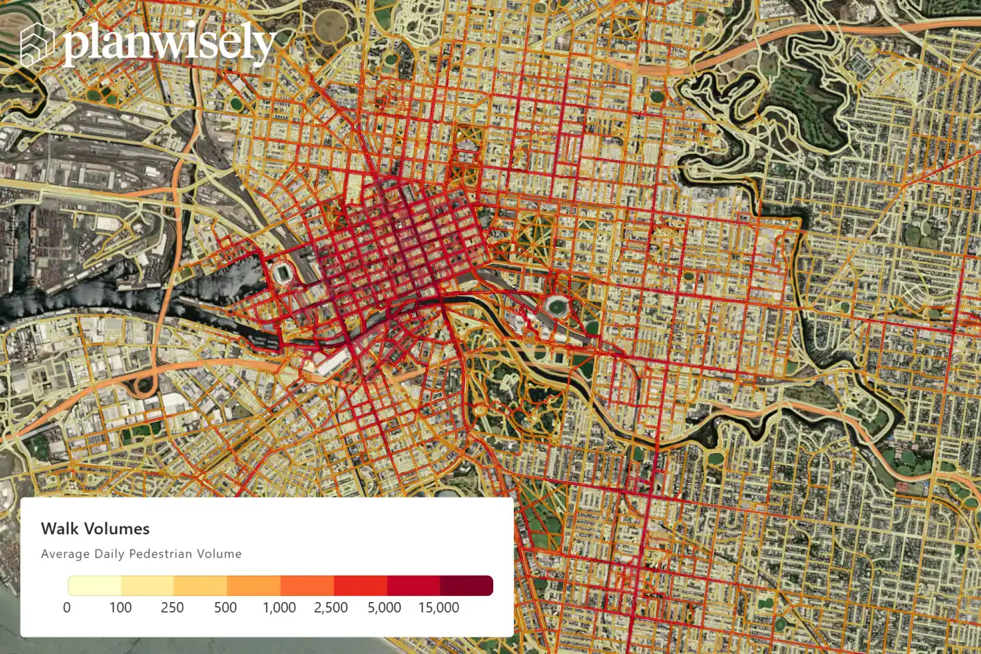
Planwisely Foot Traffic Data includes new data and key updates to give planners and businesses deeper insights into pedestrian movements across Australia.

Featuring comprehensive updates for the 2025 calendar year, the updated version introduces improved network visualisation and enhanced routing accuracy, delivering an unparalleled view of walk volumes at the link level across Australia.

“It’s easier than ever to see how people vote with their feet with the latest version of Foot Traffic Data,” says Planwisely Executive Director (Digital), Ali Inayathusein.

“We’ve significantly improved the dataset and its usability, giving users a clearer, more reliable view of pedestrian activity across the network.”
Pedestrian volumesPedestrian movements
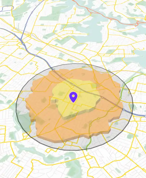
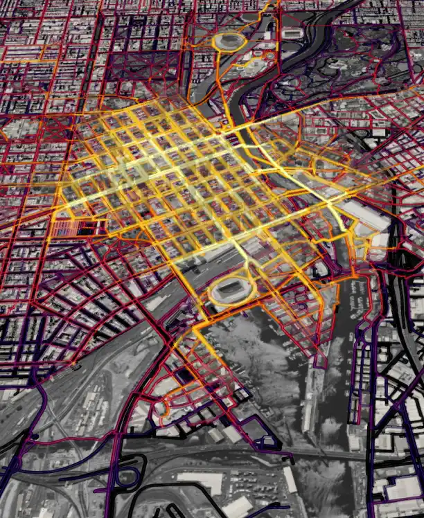
Foot Traffic Data can show you absolute volumes or movements through individual links in the network.

From volumes to movement patterns

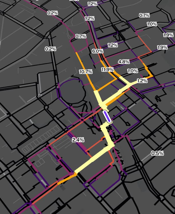
In addition to nationwide pedestrian volumes, the dataset includes detailed link-level journey analysis – allowing users to investigate how people travel across individual paths, streets and connections within the network.

This creates a powerful shift from static counts to dynamic movement insights, helping planners and decision-makers identify key corridors, underutilised links and critical gaps in connectivity.

“You can not only understand walk demand but uncover the underlying patterns that shape how people move through places,” says Inayathusein. “That opens up entirely new opportunities to plan, design and invest with confidence.”

Put your best foot forward with Foot Traffic Data
Get in touch

Supporting better planning and commercial decisions

By combining high-resolution walk volumes with network-level insights, Foot Traffic Data supports a wide range of applications across public and private sectors, including:

  • Active transport planning: Identify high-demand pedestrian corridors and prioritise infrastructure investment.
  • Retail and commercial strategy: Assess foot traffic exposure and movement patterns for site selection and network optimisation.
  • Urban planning and precinct design: Understand how people move through places, not just where they are counted.
  • Development feasibility: Quantify local walk demand and connectivity to support evidence-based decision-making.

With nationwide coverage, Planwisely enables users to compare pedestrian activity across cities, regions and precincts, delivering consistent, scalable insights wherever decisions are being made.

Want to get started with Planwisely?

Use powerful geospatial datasets to uncover insights, guide your decision-making process and deliver better outcomes for your project today.