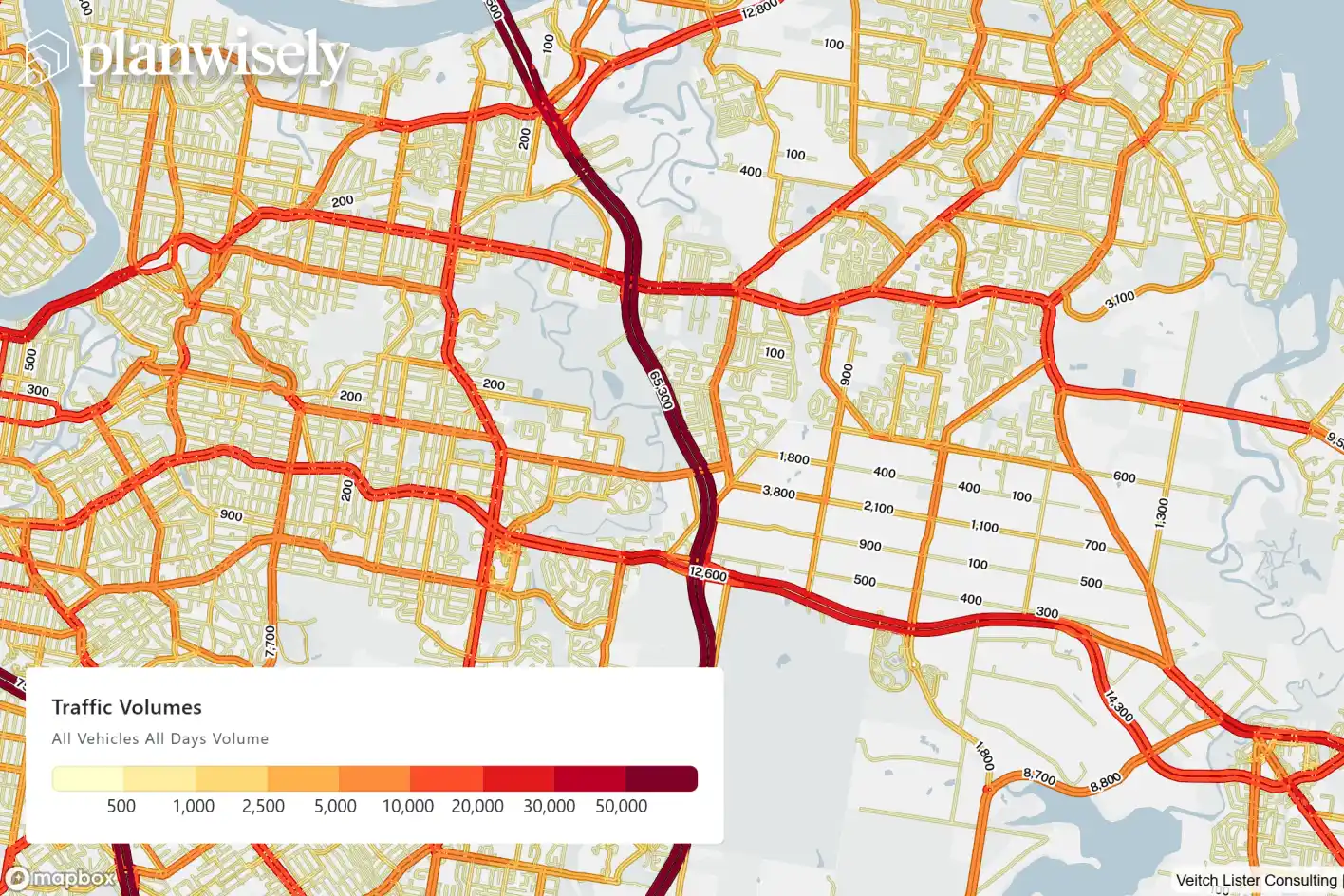
The latest Road Traffic Data is now available in Planwisely, providing an updated nationwide view of vehicle movements across Australia.
Covering roads across the country, the 2025 dataset gives planners, transport professionals and businesses a unified national methodology to understand and compare traffic movements, including locations where traditional traffic counts may not be readily available.
Traditional traffic counts remain an important source of transport evidence, but they can only tell us what is happening where a count exists. Counts also tend to be concentrated on higher-priority roads and corridors, while bringing together existing data can mean working across different collection periods, methodologies and jurisdictions. This means that Planwisely Road Traffic Data can be used to effectively fill the gaps between those counts.
Planwisely Road Traffic Data allows real-world decision makers to investigate road traffic volumes, vehicle movements and Origin-Destination insights at a link level across Australia.
Using anonymised mobile device data, Planwisely builds a nationwide picture of vehicle movements across the road network.
These movements are calibrated and validated against observed traffic counts, with the 2025 dataset incorporating data from 21,500 count locations across Australia. The result is a consistent evidence base that makes it possible to investigate a road in Brisbane, a regional centre in Victoria or locations on opposite sides of the country using the same underlying dataset.
Planwisely Road Traffic Data shows not just how busy a road or link is, but how it's being used.
These insights have powerful applications for a range of real-world decisions, including:
Businesses and developers can find a consistent way to compare vehicle movements and exposure between potential locations.
State transport agencies can investigate movements across a wider network to identify locations of interest and understand the road network more broadly.
Councils can uncover additional evidence for understanding local roads and prioritising further analysis without commissioning additional counts and waiting for their results.
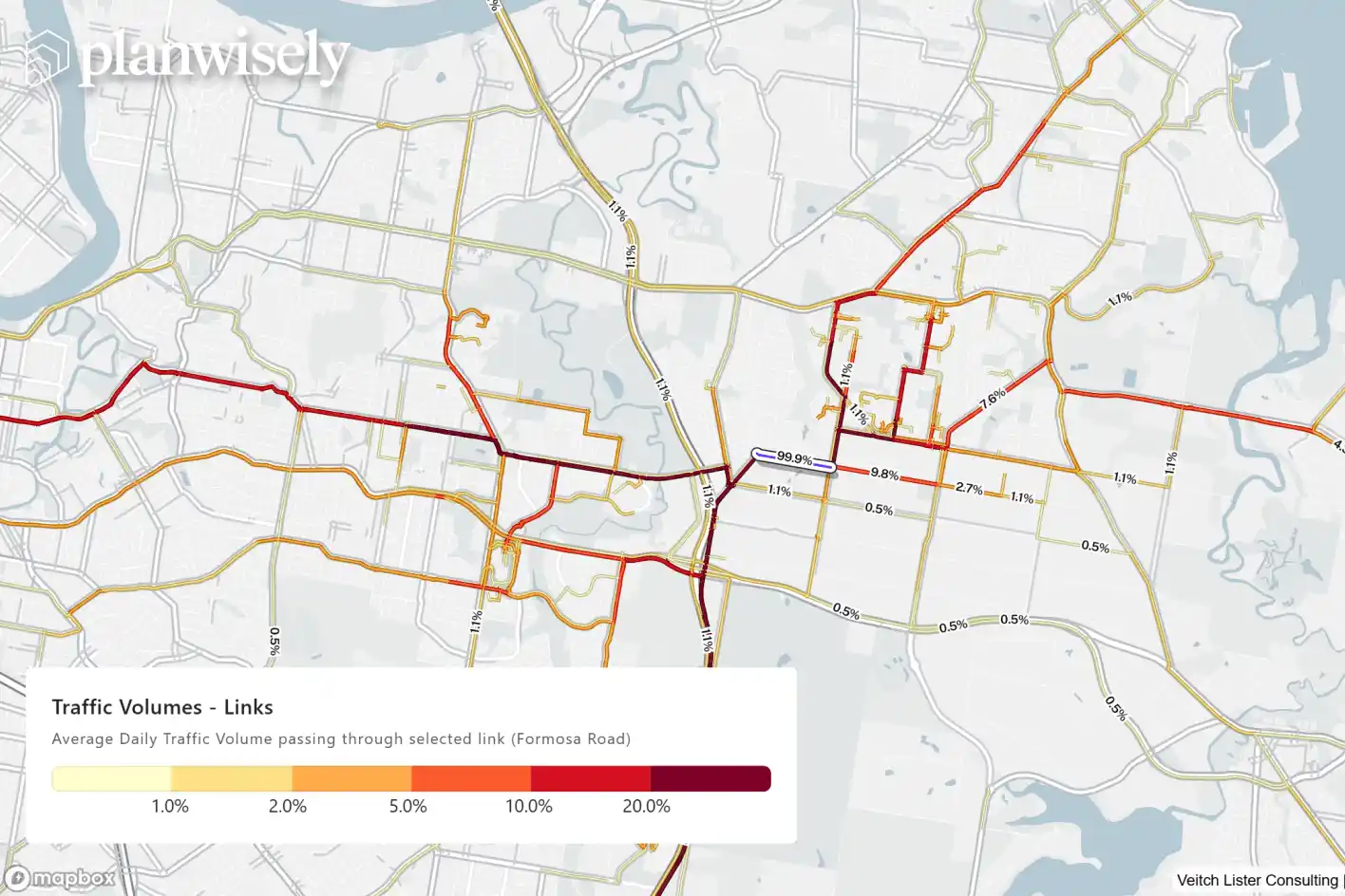
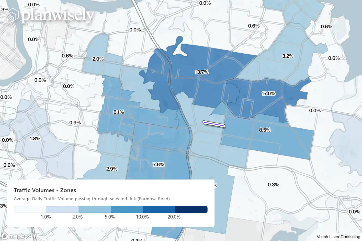
Because Road Traffic Data is built from vehicle trips, Planwisely can help users investigate how a road is being used, not simply how busy it is. Users can explore average daily traffic volumes, compare movements by hour, weekday or weekend, and distinguish between total and commercial vehicle activity. They can also select individual road links to investigate where vehicles have come from and where they travel next at suburb or LGA level.
Unlock Australia-wide traffic volumes in Planwisely
This additional layer of insight can help answer questions a standalone traffic count cannot:
Is a busy road predominantly serving the surrounding community or carrying traffic through it?
Where are vehicles using a particular corridor coming from?
How does traffic change throughout the day?
2025 Road Traffic Data is available now in Planwisely, adding the latest year of vehicle movements to a consistent nationwide evidence base for transport planning, network analysis and site selection.